Best Apps for Your Amtrak Train Trip
An Amtrak cross-country train trip is the perfect time to put that phone away. Over the years, I’ve discovered a few fun, helpful and even necessary train apps that want to make me keep my phone charged and at my side.
Best Apps For Amtrak Train Trips
Plus Other Stuff To Download
When I first had the idea to write this article, Amtrak National Timetable books were available in nearly every Amtrak station. Individual route pamphlets were neatly arranged in racks near every ticket window in every Amtrak station, from big cities to small towns.
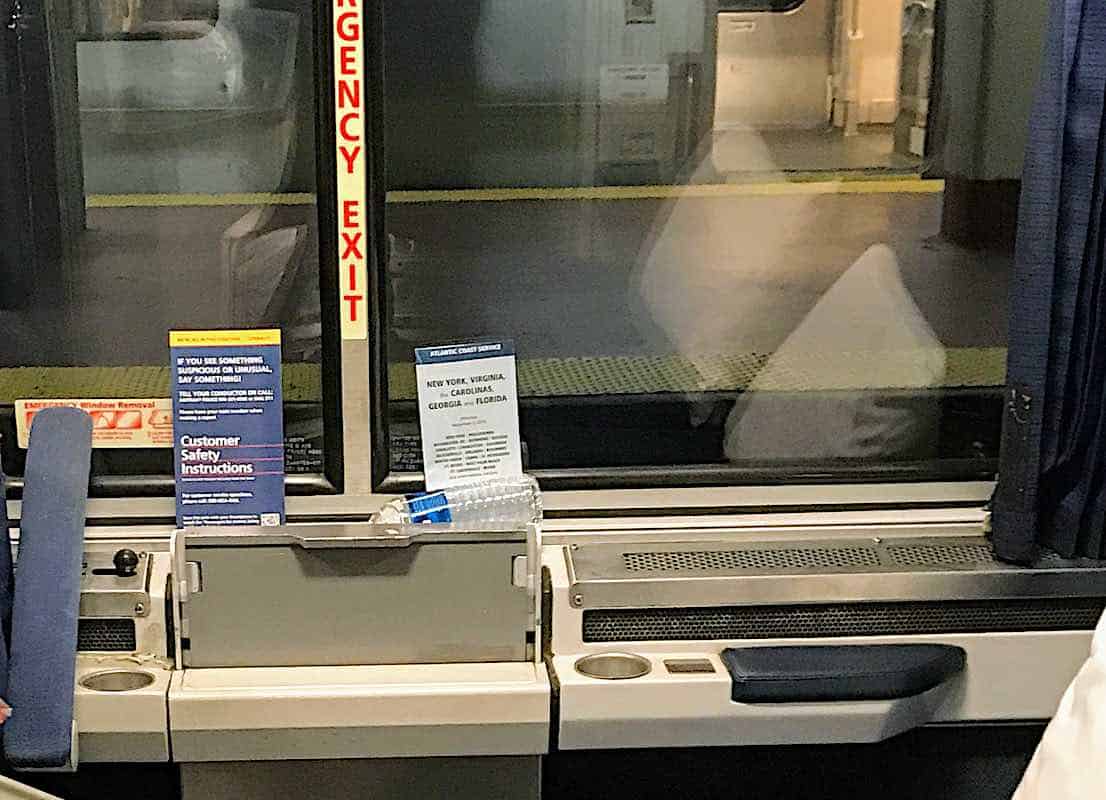
If you reserved a sleeping compartment, tucked neatly between your fold-out tray table and the window was the specific route map for your journey. Plus sometimes there would be a really wide fold-out horizontal list of every city on the route, along with mileage, landmarks and historical info.
Now all of these handy pamphlets are gone. Part of the former Amtrak president’s cost-cutting mission.
Two Things You Should Do Before Your Train Trip
Print Your Amtrak Timetable
The first thing to do as soon as your ticket is paid is to go to Amtrak’s site and find the route timetable for where you’re going. Then print it and put it in the folder with your other travel documents. This is the only way to get your hands on an Amtrak timetable. Because of lack of funding for Amtrak, one of the first cuts was to stop printing timetables. Without printing your train route, and if there isn’t a cell tower nearby, you won’t know where you are or what time you’ll be there.
Download Movies, TV Shows, Podcasts or Music
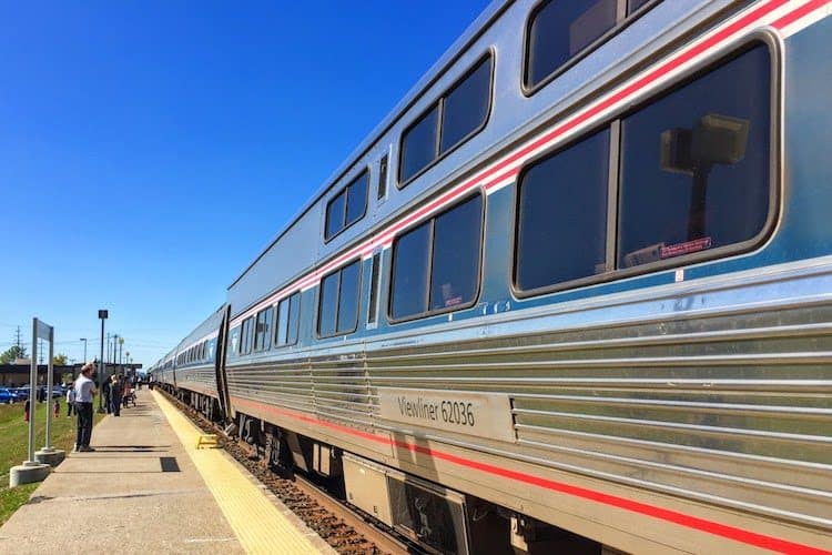
Every long-haul train between east of the Mississippi and the West Coast has had its wifi routers ripped out, also another Amtrak cut. You will be totally reliant on cell towers for your phone for reception. I still find it amazing how many dead spots there are across the country, especially on the long-haul cross-country Amtrak routes.
I have an iPad that I use solely for downloading movies and TV shows and use my iPhone for podcasts. I’ll make sure that both devices have downloaded whatever book I’m in the middle of reading. Also, be sure to bring ear buds or headphones. Even in your own sleeping compartment, you can hear your neighbors.
My Favorite Apps For an Amtrak Train Trip
I love to know where I am. Geographically speaking, whether on a cruise ship, train or even walking around a new city, I like to know my location. What’s different about geo-spotting yourself on a train is that you are moving along at a decent clip, sometimes in the middle of absolutely nowhere. Yet somehow, despite the dreaded “No Service” display, these apps manage to give up to the moment accurate data.
1. Speed Box (Speedometer Speed Box)
Okay, I’ll admit it. I’m a train nerd and can’t get enough of silly factoids. Speed Box tells you how fast the train is going. For example, on the short NYC to Newark run, I’ve clocked the train going 112 mph. When we snake through mountain ranges out west, 10-15 mph is the norm.
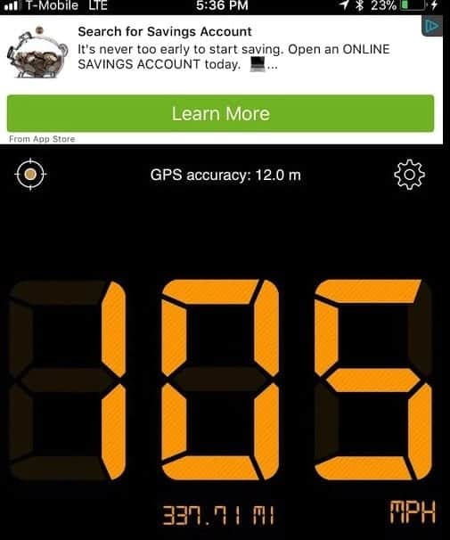
I was on the Silver Meteor from NYC to Orlando on the first train south following a hurricane that put the train out of service for four days. Most of the route from North Carolina all the way to Orlando, we didn’t go much over 35 mph. The tracks were still strewn with twisted tree branches and other scattered debris. I slept great that night.
2. Altimeter App (Altimeter)
Another goofy app I really enjoy for an Amtrak train trip is Altimeter. Not necessary for any routes in the northeast but for anything traveling west, it’s fun to learn how high your train has climbed.
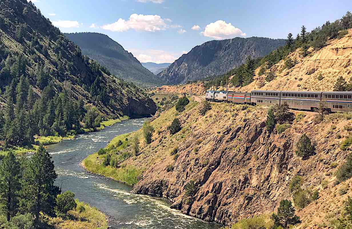
Aboard the California Zephyr, the train reached 9,000-feet at the highest point. On the Southwest Chief, you travel through high desert plains until you pass Flagstaff at an 8,000-foot elevation. No wonder my ears ached.
I also learned that while aboard the Coast Starlight, we descended nearly 2,000’ in less than 20 minutes. Again, my curiosity triggered by air pressure.
3. Google Maps App
No, not the Apple Map app, the real Google Map. Why? Because you can do more with it than the Apple Map that comes with your iPhone. For example, first, spot yourself on the moving train via the little blue dot. It’s fun to watch it wobble along as your train heads on down the track.
But how do you get to the really cool satellite view where you can locate the names of the mountains, rivers and other points of interest?
How to use Google Maps app on Amtrak
Open Google Maps. Most likely it will open to the default beige map that includes your blue dot. This is a good map for watching your train move down the tracks. But I’d rather see the Satellite View map in full color with all the surrounding geographical bits, including farm fields. Here’s how to get there.
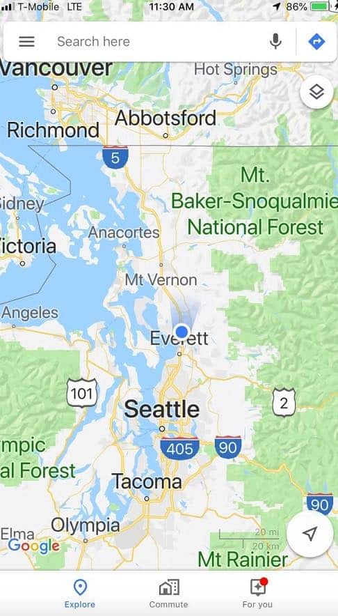
In the lower right corner, you’ll see two round discs. The lower one in blue is for transit and directions info. Not needed while you’re on the moving train. Touch the white disc above it (with the arrow) and it will take you to the screen that shows your location.
Touch the compass rose disc a second time and it displays a sort of two-dimensional maps. Now…
In the upper right corner, you’ll see two flat boxes…it’s the menu. Touch the boxes and voila! A list of ways to view the map appears. The basic beige view is Default. Next there’s Satellite and Terrain. Select Satellite View. You can follow the train on down the line, look for landmarks and even bridges. This is also very handy if you plan to take photos from the train. Look for a body of water then zoom in to see how close and where the bridge will be crossed and get ready to take the photo!
Pinch or push out on the screen to look for lakes, mountains in the distance or just simply and mindlessly watch as the little blue dot wobbles its way up your screen. This is even more interesting if you’re aboard the California Zephyr out in the wilds at 2:00am and have no idea where you are or what’s around you.
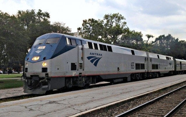
4. Amtrak App
You definitely want to download the Amtrak app for your train trip. When you go to use the app, you can either enter by using your Amtrak Guest Rewards member number or continue as Guest. I usually log in as Guest. Once you’re in, click More and then Amtrak information.
Notice the five paled-out dots beneath “General Information” at the top of your screen. Not only can you find a ton of info if you scroll down, but swipe left to access each dot’s page and you’ll find everything you need to know from routes to menus to refund policies.
5. Snapseed
While there are a lot, and I mean a lot of photo apps to choose, I prefer Snapseed. Mostly because it is easy to figure out how to use it and it has all of the features useful while in transit. Need to remove an unsightly grey splotch that mars the otherwise beautiful white clouds and blue sky? Use the Healing or Brush tool and remove it.
I have other photo fixing apps like Lightroom and PhotoShop Express, but I always return to Snapseed. And you can post your photos direct to social when WiFi works.
6. Touch Retouch
It might seem redundant to have this app but here’s why I like it. Its sole purpose is to remove unwanted objects from your photo. Yes, you can do that in Snapseed, Lightroom and others. However, using Touch, Retouch to remove annoying bits from your photo is a one-step process instead of having to scroll to find the Healing or other features within the heavy lifting photo apps.
7. Hotel Tonight
The Hotel Tonight app has come in handy so many times that I’ve stopped counting. One of the joys of train travel is that you have the flexibility to hop off at any stop before your ticketed destination (no refund given). If there’s a city that you want to see, check out last minute hotels in the Hotel Tonight app.
Train running late and you’ve missed your connection? Hotel Tonight app to the rescue. This is the number one reason why I use this app when I travel by train…anywhere in the world.
8. Uber / Lyft
Self-explanatory but still there are so many people who have never tried either of these ride-share apps. Five minutes before you are scheduled to arrive at your destination, order your ride on the app. Sometimes you can even schedule a pickup time.
If you have checked luggage and it’s daylight and not rush hour, then maybe wait until you are off the train and have claimed your luggage. Uber will charge you for wait time.
Conclusion
Yes, I really do use all of these apps on every Amtrak trip. While I think the only absolutely necessary app would be the Amtrak app, all of these really help to make your Amtrak train trip even more enjoyable.
What travel apps do you use and recommend? Any specifically for train travel in the USA?


Superliners have never had WiFi
Hi Diane,
Thank you for reading the article. You might want to look at Google Maps and zoom in to see what is near the train station. In many major cities, it is very possible to simply walk from the train to your hotel. But to my knowledge, there isn’t a specific app to do this kind of search. Once you know your train and the route, just find hotels nearby.
In Glenwood, Colorado for example, nearby hotels will pick up guests at the Amtrak station. In Chicago, you can walk from Union Station to an assortment of hotels, restaurants, museums and shopping. Just zoom in on a map and that should be a big help to see what’s near the train stations. That’s what I do.
Thank you again for taking the time to read the article and send in your question. I hope my answer was a little helpful.
Sherry
Is there such an app: I want to travel to stations that I can get off without renting a car or use Uber. I want to be able to walk across the railroad tracks straight to inn, hotel, shops and food.